LOCATION API FOR INDONESIA
Indonesian location data, ready for your application.
Access Indonesian administrative boundaries, postal codes, and location data through a single API that is fast, accurate, and ready to use.
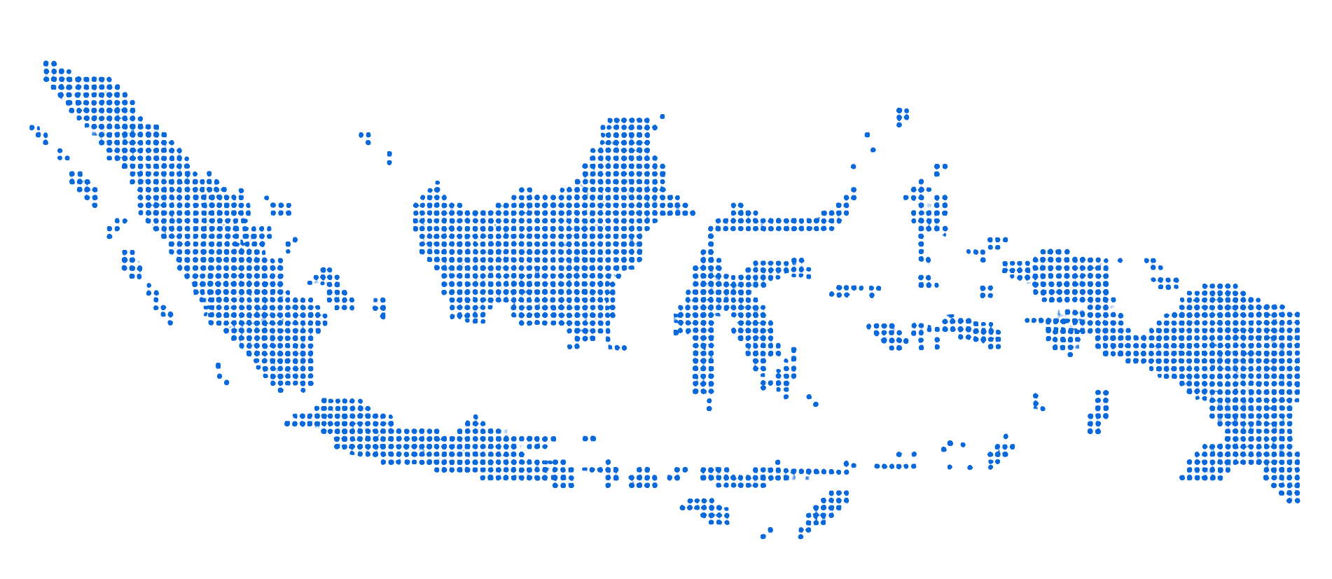
38
Provinces
514
Regencies/Cities
7,285
Districts
83,762
Villages/Wards
PROBLEM SOLVED
Location data shouldn't be a burden for every developer.
Collecting Indonesian administrative boundary datasets, assembling the province–regency–district–village hierarchy, linking postal codes to areas, and maintaining data consistency requires significant time and cost. Zonatic eliminates this complexity by providing standardized Indonesian location data through a single API.
DATA SOURCES
From trusted data sources.
Zonatic builds location data from official, verifiable sources — not from unverified community data.
Administrative Boundary Data
Province, regency/city, district, and village/ward boundaries from official Ministry of Home Affairs (Kemendagri) data.
Verified sourceIndonesian Postal Code Data
Indonesian postal codes from Pos Indonesia mapped to administrative areas.
Verified sourceGeospatial Data
Indonesian geospatial data sourced from the Geospatial Information Agency (BIG).



KEY FEATURES
One API. Diverse needs.
Zonatic provides a complete location data foundation for building location-based applications in Indonesia.
Administrative Boundary Data
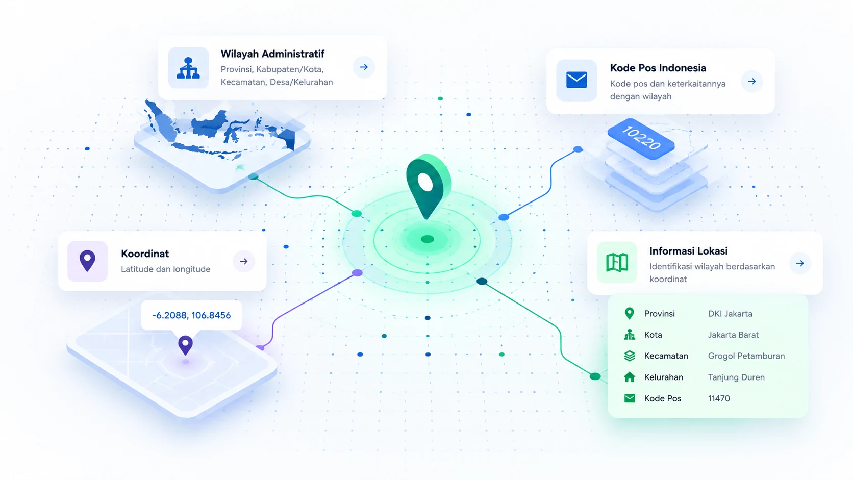
Access the complete Indonesian administrative hierarchy: 38 provinces, 514 regencies/cities, 7,285 districts, and 83,762 villages/wards with stable canonical codes.
Indonesian Postal Codes
Postal code lookup by area or coordinates, with many-to-many relationships to administrative boundaries for maximum accuracy.
Reverse Geocoding
Convert GPS coordinates (latitude/longitude) into complete administrative context: province, regency/city, district, and village/ward.
Developer Friendly
REST API with API key authentication and OpenAPI documentation available for every endpoint.
API EXAMPLE
Integration in minutes.
Simple REST API with standard JSON responses. Full documentation available in the developer portal.
cURL
curl -H "Authorization: Bearer $ZONATIC_API_KEY" \
  "https://api.zonatic.id/v1/reverse-geocode?latitude=-6.19&longitude=106.81"
Set the ZONATIC_API_KEY environment variable before running the examples above.
Response
{
  "latitude": -6.19,
  "longitude": 106.81,
  "matched": true,
  "address": {
    "province": { "code": "31", "name": "DKI Jakarta", "level": 1 },
    "regency_or_city": { "code": "3171", "name": "Central Jakarta Administrative City", "level": 2 },
    "district": { "code": "317101", "name": "Gambir District", "level": 3 },
    "village_or_ward": { "code": "3171011001", "name": "Gambir Village", "level": 4 }
  },
  "areas": [
    { "code": "31", "name": "DKI Jakarta", "level": 1 },
    ...
  ]
}
Short preview — the full response includes additional fields.
PRICING & BILLING
Use the API, pay for what you use.
Top up your balance in rupiah. Each request is deducted from your balance at the rate of the API you call.
10,000 free requests every month
Free quota applies as a combined quota across all Zonatic endpoints.
Reverse Geocoding
Rp15,000 / 1,000 requests
Equivalent to Rp15 per request.
Convert coordinates into administrative area information.
Utility API
Rp3,000 / 1,000 requests
Equivalent to Rp3 per request.
For Indonesian area search and postal code lookup.
Need a high volume of requests? Contact us to discuss custom pricing.
Keunggulan
No monthly fees
Top up your balance only when you need to.
Pricing in rupiah
No need to convert API costs from dollars.
Track your usage
See your request count and remaining balance.
USE CASE
Supporting various application types.
Zonatic supports various industries that require accurate and standardized Indonesian location data.
E-commerce
Shipping address validation, automatic shipping cost calculation, and service area coverage checking based on postal codes and administrative boundaries.
On-Demand Services
Driver/courier matching with orders based on zones, service area validation, and travel time estimation based on administrative boundaries.
Analytics & Research
Demographic analysis per area, population density mapping, postal-code-based market analysis, and spatial data visualization.
Internal Systems
Branch/outlet master location data validation, operational zone management, and CRM/ERP integration with location-based data.
The use cases above are examples of potential applications, not a guarantee of features provided directly by Zonatic.
LOCATION API FOR INDONESIA
Build your application with Indonesian location data.
Start integrating today and access Indonesian administrative boundaries, postal codes, and location data through a single API that is fast and reliable.